
1955 Map of Wichita
USGS Topo · Published 1959About this map
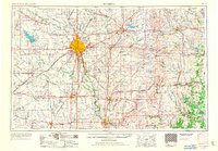
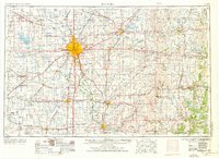
Wichita sits at the confluence of the Arkansas River and Little Arkansas River, serving as a major regional hub during this mid-century period of expansion. The landscape is heavily influenced by a dense grid of railroads, including the Atchison Topeka and Santa Fe and the Missouri Pacific RR, which facilitated the growth of outlying agricultural communities like Newton, Wellington, and Augusta. To the east, the terrain transitions into the iconic Flint Hills, where the Fall River Reservoir and Lake El Dorado provide significant water management for the valley.
Find a feature on this map
239 named features on this map. Tap any name to fly to it.
Don’t see what you’re looking for? This feature index may not catch every label — zoom into the map to look around manually.
Map Details
Editions of this 1955 Wichita Map
3 editions found
Other maps of this area

1885 · Burlington
USGS Topo · 1:125,000

1885 · Eureka
USGS Topo · 1:125,000

1885 · Sedan
USGS Topo · 1:125,000

1886 · Fredonia
USGS Topo · 1:125,000

1886 · Independence
USGS Topo · 1:125,000

1888 · Emporia
USGS Topo · 1:125,000

1888 · Eureka
USGS Topo · 1:125,000

1888 · Eldorado
USGS Topo · 1:125,000

1889 · Newton
USGS Topo · 1:125,000

1889 · Burden
USGS Topo · 1:125,000