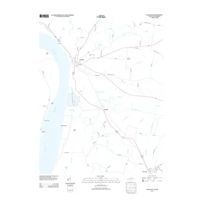
2013 Map of Wickliffe
USGS Topo · Published 2013About this map
The Mississippi River dominates this landscape, where the shifting waters have created a complex network of chutes and sloughs including Island Number 1 Chute, Minor Slough, and Straight Slough. This fluvial environment is anchored by the historic river towns of Wickliffe and Bardwell, situated at the convergence of vital regional transport routes. The map records a riverine economy represented by Norfolk Landing and Pritchard Landing, which illustrate the longstanding dependence on water-based commerce in this corner of Kentucky. Inland, the terrain is defined by a dense web of creeks such as Mayfield Cr and Shelton Cr. Genealogists will find particular value in the documentation of the Wickliffe Cem and the Harrison Hughes Cem, while family-named roads like Hershel Jones Rd and N Ballard Church Rd provide a clear view of local land tenure and community development.
Find a feature on this map
75 named features on this map. Tap any name to fly to it.
Don’t see what you’re looking for? This feature index may not catch every label — zoom into the map to look around manually.
Map Details
Editions of this 2013 Wickliffe Map
This is the sole edition of this map. No revisions or reprints were ever made.
Other maps of this area

1928 · La Center
USGS Topo · 1:62,500

1931 · Cairo
USGS Topo · 1:62,500

1932 · La Center
USGS Topo · 1:62,500

1933 · Cairo
USGS Topo · 1:62,500

1939 · Wickliffe
USGS Topo · 1:62,500

1939 · Cairo
USGS Topo · 1:62,500

1949 · Paducah
USGS Topo · 1:250,000

1950 · Paducah
USGS Topo · 1:250,000

1951 · Blandville
USGS Topo · 1:24,000

1951 · Wickliffe SW
USGS Topo · 1:24,000