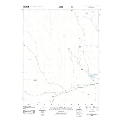
2011 Map of Wide Hollow Reservoir
USGS Topo · Published 2011About this map
Wide Hollow Reservoir and the Wide Hollow Dam serve as the focal point for this high-desert landscape in Garfield County. Managed in part by Escalante State Park, the area includes the Escalante Petrified Forest Campground along the northern banks of the Escalante River. The settlement pattern is defined by remote agricultural outposts, such as Roundy Ranch, Griffin Ranch, and Heaps Ranch, which are situated along the drainage paths of Pine Creek and Upper Valley Creek.
Find a feature on this map
34 named features on this map. Tap any name to fly to it.
Don’t see what you’re looking for? This feature index may not catch every label — zoom into the map to look around manually.
Map Details
Editions of this 2011 Wide Hollow Reservoir Map
This is the sole edition of this map. No revisions or reprints were ever made.
Other maps of this area

1886 · Escalante
USGS Topo · 1:250,000

1956 · Escalante
USGS Topo · 1:250,000

1960 · Escalante
USGS Topo · 1:250,000

1964 · Griffin Point
USGS Topo · 1:24,000

1964 · Barker Reservoir
USGS Topo · 1:24,000

1964 · Dave Canyon
USGS Topo · 1:24,000

1964 · Canaan Creek
USGS Topo · 1:24,000
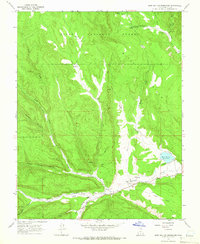
1964 · Wide Hollow Reservoir
USGS Topo · 1:24,000
1964 · Roger Peak
USGS Topo · 1:24,000
1964 · Upper Valley
USGS Topo · 1:24,000