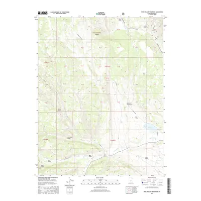
2017 Map of Wide Hollow Reservoir
USGS Topo · Published 2017About this map
The Wide Hollow Reservoir sits at the center of this 2017 survey, serving as a primary water source in a landscape defined by dramatic geological transitions. Situated within the Dixie National Forest, the map records a network of drainage systems including the Escalante River and Upper Valley Cr. The rugged character of the area is evidenced by named canyons such as Deer Canyon and Little Valley Canyon, contrasting with the more level expanse of the Little Desert to the southeast. Transportation through this part of Garfield County relies on historical routes like the Old Escalante Rd and the N Creek Rd, alongside modern recreational paths such as the Snowmobile Trail. Significant terrain features like The Box and Black Hills highlight the varied topography that has long shaped land use in the Upper Valley.
Find a feature on this map
61 named features on this map. Tap any name to fly to it.
Don’t see what you’re looking for? This feature index may not catch every label — zoom into the map to look around manually.
Map Details
Editions of this 2017 Wide Hollow Reservoir Map
This is the sole edition of this map. No revisions or reprints were ever made.
Other maps of this area

1886 · Escalante
USGS Topo · 1:250,000

1956 · Escalante
USGS Topo · 1:250,000

1960 · Escalante
USGS Topo · 1:250,000

1964 · Griffin Point
USGS Topo · 1:24,000

1964 · Barker Reservoir
USGS Topo · 1:24,000

1964 · Dave Canyon
USGS Topo · 1:24,000

1964 · Canaan Creek
USGS Topo · 1:24,000
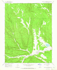
1964 · Wide Hollow Reservoir
USGS Topo · 1:24,000
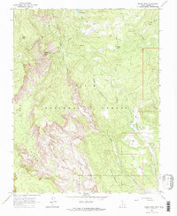
1964 · Roger Peak
USGS Topo · 1:24,000
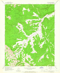
1964 · Upper Valley
USGS Topo · 1:24,000