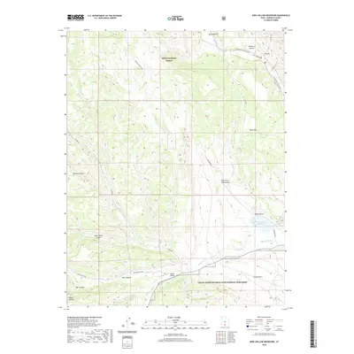
2020 Map of Wide Hollow Reservoir
USGS Topo · Published 2020About this map
Dixie National Forest and the Grand Staircase-Escalante National Monument dominate this southern Utah landscape, where protected federal lands meet the high desert plateau. The hydrology of the region is centered on the Escalante River and its various tributaries, including Birch Cr and Upper Valley Cr, which feed into the critical Wide Hollow Reservoir in the eastern portion of the quadrangle.
Find a feature on this map
31 named features on this map. Tap any name to fly to it.
Don’t see what you’re looking for? This feature index may not catch every label — zoom into the map to look around manually.
Map Details
Editions of this 2020 Wide Hollow Reservoir Map
This is the sole edition of this map. No revisions or reprints were ever made.
Other maps of this area

1886 · Escalante
USGS Topo · 1:250,000

1956 · Escalante
USGS Topo · 1:250,000

1960 · Escalante
USGS Topo · 1:250,000

1964 · Griffin Point
USGS Topo · 1:24,000

1964 · Barker Reservoir
USGS Topo · 1:24,000

1964 · Dave Canyon
USGS Topo · 1:24,000

1964 · Canaan Creek
USGS Topo · 1:24,000
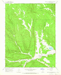
1964 · Wide Hollow Reservoir
USGS Topo · 1:24,000
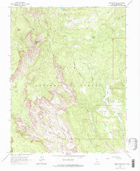
1964 · Roger Peak
USGS Topo · 1:24,000
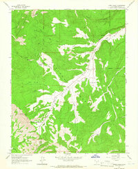
1964 · Upper Valley
USGS Topo · 1:24,000