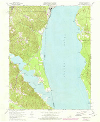
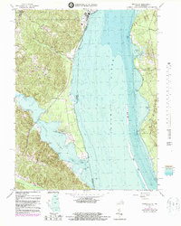
1966 Map of Widewater
USGS Topo · Published 1978About this map
Potomac River shorelines and the strategic rail corridor of the Richmond Fredericksburg and Potomac railroad dominate this mid-century view of Stafford County. The landscape is a mix of military training grounds at the Quantico Marine Corps Schools and small riverside communities. Local commerce is centered around landmarks like Mountjoy Store and Decatur Store, while the spiritual life of the area is anchored by Clifton Chapel and Oak Grove Ch.
Find a feature on this map
44 named features on this map. Tap any name to fly to it.
Don’t see what you’re looking for? This feature index may not catch every label — zoom into the map to look around manually.
Map Details
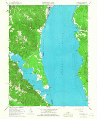
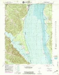
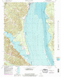
Editions of this 1966 Widewater Map
5 editions found
Other maps of this area

1889 · Fredericksburg
USGS Topo · 1:125,000

1890 · Mt. Vernon
USGS Topo · 1:125,000

1891 · Mt. Vernon
USGS Topo · 1:125,000

1892 · Fredericksburg
USGS Topo · 1:125,000

1894 · Fredericksburg
USGS Topo · 1:125,000

1894 · Mt. Vernon
USGS Topo · 1:125,000

1897 · Mt. Vernon
USGS Topo · 1:125,000

1913 · Indian Head
USGS Topo · 1:62,500

1913 · Nanjemoy
USGS Topo · 1:62,500

1923 · Indian Head
USGS Topo · 1:48,000