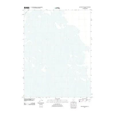
2011 Map of Wig Mountain NW
USGS Topo · Published 2011About this map
The vast, flat expanse of the Utah desert dominates this 2011 survey, where the landscape is defined primarily by its hydrological patterns rather than human settlement. The northern edge of the map features a small segment of White Rock Rd, which represents the only significant roadway improvement within these coordinates. The area is characterized by an extensive network of dry lakebeds and flats, typical of the Great Basin's endorheic drainage systems, showing how the environment dictates the isolation and sparse infrastructure of this region of Tooele County.
Find a feature on this map
1 named feature on this map. Tap any name to fly to it.
Don’t see what you’re looking for? This feature index may not catch every label — zoom into the map to look around manually.
Map Details
Editions of this 2011 Wig Mountain NW Map
This is the sole edition of this map. No revisions or reprints were ever made.
Other maps of this area

1953 · Tooele
USGS Topo · 1:250,000

1954 · Wig Mtn SW
USGS Topo · 1:24,000

1954 · Wildcat Mtn
USGS Topo · 1:24,000

1954 · Wildcat Mtn SE
USGS Topo · 1:24,000

1954 · Wig Mtn NW
USGS Topo · 1:24,000

1955 · Wig Mtn
USGS Topo · 1:24,000

1955 · Wig Mtn NE
USGS Topo · 1:24,000

1955 · Tooele
USGS Topo · 1:250,000

1973 · Knolls SE
USGS Topo · 1:24,000

1973 · Aragonite SE
USGS Topo · 1:24,000