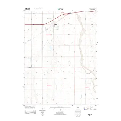
2013 Map of Wiggins
USGS Topo · Published 2013About this map
Wiggins serves as the primary hub of this eastern Colorado landscape, situated along the northern corridor where Interstate 76 and Us-34 intersect. The town's grid is clearly defined by streets such as Central Ave and Dickson St, while the nearby Wiggins Cem offers a grounded reference for local genealogists. Beyond the town limits, the geography is shaped by the ephemeral paths of Kiowa Creek and Bijou Creek, which meander through a series of agricultural sections defined by a precise county road system. To the south and east, the terrain opens into Antelope Flats, drained by Antelope Creek. The presence of the McCarthy Reservoir highlights the vital role of water management in this high plains environment, supporting the surrounding farmsteads and ranches.
Find a feature on this map
41 named features on this map. Tap any name to fly to it.
Don’t see what you’re looking for? This feature index may not catch every label — zoom into the map to look around manually.
Map Details
Editions of this 2013 Wiggins Map
This is the sole edition of this map. No revisions or reprints were ever made.
Other maps of this area

1950 · Wiggins
USGS Topo · 1:24,000

1950 · Wiggins SW
USGS Topo · 1:24,000

1950 · Masters
USGS Topo · 1:24,000

1950 · Hoyt
USGS Topo · 1:24,000

1951 · Hoyt
USGS Topo · 1:24,000

1951 · Masters
USGS Topo · 1:24,000

1951 · Weldona
USGS Topo · 1:24,000

1951 · Orchard
USGS Topo · 1:24,000

1951 · Omar
USGS Topo · 1:24,000

1954 · Sterling
USGS Topo · 1:250,000