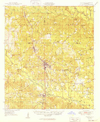
1949 Map of Wiggins
USGS Topo · Published 1949About this map
Wiggins serves as the central hub of this South Mississippi landscape, where the Illinois Central railroad dictates the orientation of town life and commerce. The surrounding terrain is defined by the extensive reaches of the De Soto National Forest, marked by an intricate network of waterways including Red Creek, Black Creek, and Ten Mile Creek. The map documents a rural community structure centered on local institutions like the Rosenwall Sch, Vocational High Sch, and the Maxie Fire Tower, which overlooks the piney woods.
Find a feature on this map
91 named features on this map. Tap any name to fly to it.
Don’t see what you’re looking for? This feature index may not catch every label — zoom into the map to look around manually.
Map Details
Editions of this 1949 Wiggins Map
2 editions found
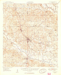
Other maps of this area
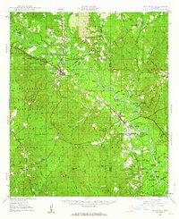
1947 · Beaumont
USGS Topo · 1:62,500
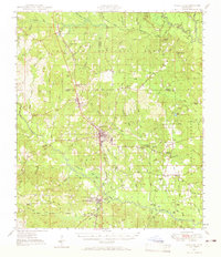
1947 · Wiggins
USGS Topo · 1:62,500
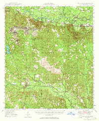
1947 · New Augusta
USGS Topo · 1:62,500
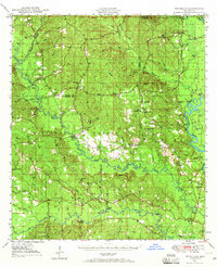
1947 · Benndale
USGS Topo · 1:62,500
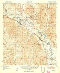
1949 · Beaumont
USGS Topo · 1:62,500
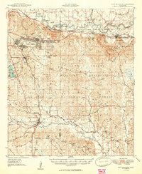
1949 · New Augusta
USGS Topo · 1:62,500
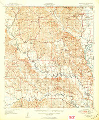
1949 · Benndale
USGS Topo · 1:62,500

1953 · Hattiesburg
USGS Topo · 1:250,000

1953 · Mobile
USGS Topo · 1:250,000
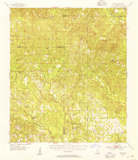
1954 · Vestry
USGS Topo · 1:62,500