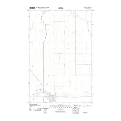
2011 Map of Wilbur
USGS Topo · Published 2011About this map
The town of Wilbur serves as the focal point of this Eastern Washington landscape, where the grid of residential streets like Sw Regent Ave and Se Trinity Ave meets the open agricultural expanse of Lincoln County. The town's connectivity is highlighted by the proximity of the Wilbur Airport and its placement along the winding path of Goose Creek. To the north, the terrain transitions into more varied topography, marked by the descent into Speigle Canyon.
Find a feature on this map
40 named features on this map. Tap any name to fly to it.
Don’t see what you’re looking for? This feature index may not catch every label — zoom into the map to look around manually.
Map Details
Editions of this 2011 Wilbur Map
This is the sole edition of this map. No revisions or reprints were ever made.
Other maps of this area

1948 · Grand Coulee Dam
USGS Topo · 1:62,500

1948 · Wilbur
USGS Topo · 1:62,500

1950 · Wilbur
USGS Topo · 1:62,500

1950 · Grand Coulee Dam
USGS Topo · 1:62,500

1953 · Ritzville
USGS Topo · 1:250,000

1959 · Ritzville
USGS Topo · 1:250,000

1965 · Ritzville
USGS Topo · 1:250,000

1969 · Govan
USGS Topo · 1:24,000

1969 · Creston Butte
USGS Topo · 1:24,000

1969 · Wagner Lake
USGS Topo · 1:24,000