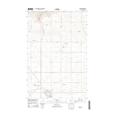
2013 Map of Wilbur
USGS Topo · Published 2013About this map
Wilbur serves as the primary hub in this portion of Lincoln County, situated along the crossing of Wa 21 and the local rail corridor marked by SE Railroad St. The town's grid is well-defined, featuring established residential and commercial thoroughfares like NW Cole Ave and SW College Ave. To the west, the Wilbur Airport and the waters of Baudys Lake sit at the town's edge, while the surrounding landscape is defined by agricultural plateaus and geological depressions such as Sage Hen Draw and Corbett Draw. To the north, the smaller Gollehon Airport and the winding course of Goose Cr further detail the rural character of the Big Bend country. The network of section-line roads, including Gollehon Rd N and Sherman Rd E, highlights the systematic land division that has shaped this wheat-growing region.
Find a feature on this map
47 named features on this map. Tap any name to fly to it.
Don’t see what you’re looking for? This feature index may not catch every label — zoom into the map to look around manually.
Map Details
Editions of this 2013 Wilbur Map
This is the sole edition of this map. No revisions or reprints were ever made.
Other maps of this area

1948 · Grand Coulee Dam
USGS Topo · 1:62,500

1948 · Wilbur
USGS Topo · 1:62,500

1950 · Wilbur
USGS Topo · 1:62,500

1950 · Grand Coulee Dam
USGS Topo · 1:62,500

1953 · Ritzville
USGS Topo · 1:250,000

1959 · Ritzville
USGS Topo · 1:250,000

1965 · Ritzville
USGS Topo · 1:250,000

1969 · Govan
USGS Topo · 1:24,000

1969 · Creston Butte
USGS Topo · 1:24,000

1969 · Wagner Lake
USGS Topo · 1:24,000