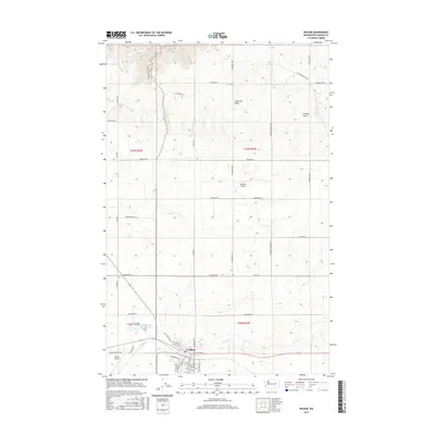
2017 Map of Wilbur
USGS Topo · Published 2017About this map
Wilbur serves as the central hub of this agricultural landscape in Lincoln County, where a grid of rural roads and aviation facilities meets the winding path of Goose Cr. The town's detailed street plan includes thoroughfares like NE Main Ave and Division St S, reflecting its role as a local center for commerce and transport. Outside the town limits, the terrain is defined by dry watercourses such as Sage Hen Draw and Corbett Draw, which carve through the high plains north of the settlement. The presence of both the Wilbur Airport and the smaller Gollehon Airport underscores the region's reliance on air travel and crop dusting, while local landmarks like Bandys and the Golf Course Rd E anchor the social and recreational geography of the community.
Find a feature on this map
50 named features on this map. Tap any name to fly to it.
Don’t see what you’re looking for? This feature index may not catch every label — zoom into the map to look around manually.
Map Details
Editions of this 2017 Wilbur Map
This is the sole edition of this map. No revisions or reprints were ever made.
Other maps of this area

1948 · Grand Coulee Dam
USGS Topo · 1:62,500

1948 · Wilbur
USGS Topo · 1:62,500

1950 · Wilbur
USGS Topo · 1:62,500

1950 · Grand Coulee Dam
USGS Topo · 1:62,500

1953 · Ritzville
USGS Topo · 1:250,000

1959 · Ritzville
USGS Topo · 1:250,000

1965 · Ritzville
USGS Topo · 1:250,000

1969 · Govan
USGS Topo · 1:24,000

1969 · Creston Butte
USGS Topo · 1:24,000

1969 · Wagner Lake
USGS Topo · 1:24,000