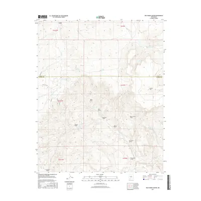
2017 Map of Wild Horse Canyon
USGS Topo · Published 2017About this map
The high-desert drainage systems of Cebolla Canyon and the Rio Salado dominate this 2017 survey of the borderlands between Cibola and Catron counties. The landscape is defined by its water management and named topographical features, where isolated water sources like Onion Spring and Techado Spring sit alongside numerous livestock tanks such as Salt Knob Tank and Manning Tank. These features suggest a continued reliance on traditional ranching and land use in an arid environment.
Find a feature on this map
34 named features on this map. Tap any name to fly to it.
Don’t see what you’re looking for? This feature index may not catch every label — zoom into the map to look around manually.
Map Details
Editions of this 2017 Wild Horse Canyon Map
This is the sole edition of this map. No revisions or reprints were ever made.
Other maps of this area

1917 · Broom Mountain
USGS Topo · 1:125,000

1954 · Socorro
USGS Topo · 1:250,000

1958 · Socorro
USGS Topo · 1:250,000

1962 · Socorro
USGS Topo · 1:250,000
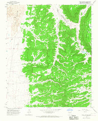
1964 · Sand Canyon
USGS Topo · 1:24,000
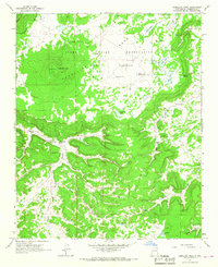
1964 · Cebollita Peak
USGS Topo · 1:24,000

1964 · Third Canyon
USGS Topo · 1:24,000

1964 · Wiley Mesa
USGS Topo · 1:24,000
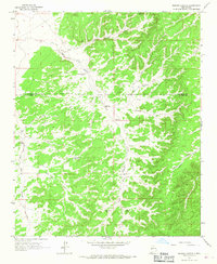
1964 · Bonine Canyon
USGS Topo · 1:24,000

1964 · Pasture Canyon
USGS Topo · 1:24,000