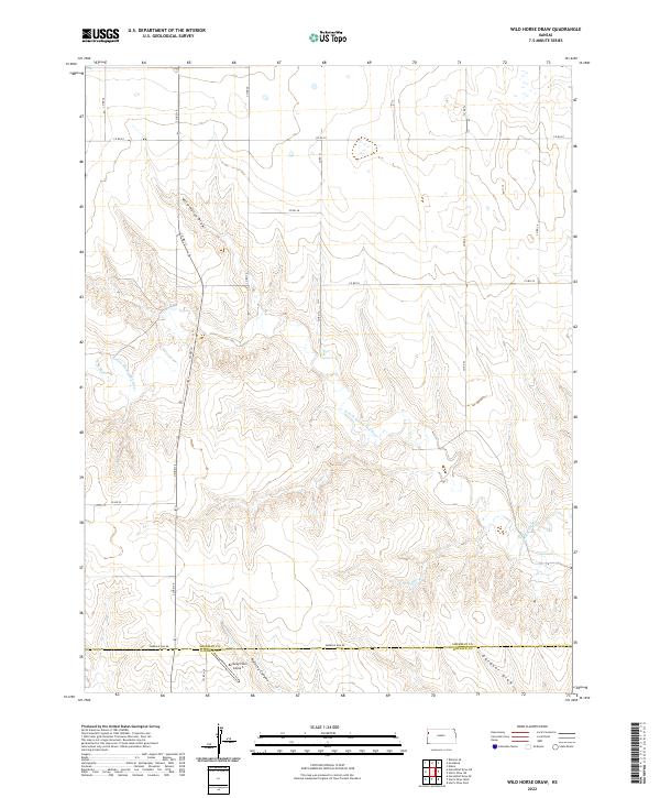
2022 Map of Wild Horse Draw
USGS Topo · Published 2022About this map
The N Fork Smoky Hill River carves a winding path through this portion of the High Plains, defining the rugged drainage patterns that transition across the Sherman and Wallace county line. The landscape is characterized by deep erosional features like Kolacny Canyon and Gardner Draw, which provide a stark contrast to the surrounding plateau. Human activity is largely defined by the section-line road network, including Emerald Elm Rd and Co RD 19, which facilitate ranching and agricultural access in this open country. The presence of the Bellamy Farm Airport in the south-central portion of the map highlights the importance of private aviation for navigating and managing these large rural tracts. This topographic study captures the drainage systems feeding into the namesake Wild Horse Draw, documenting the relationship between the prairie surface and the river breaks.
Find a feature on this map
24 named features on this map. Tap any name to fly to it.
Don’t see what you’re looking for? This feature index may not catch every label — zoom into the map to look around manually.
Map Details
Editions of this 2022 Wild Horse Draw Map
This is the sole edition of this map. No revisions or reprints were ever made.
Other maps of this area

1954 · Goodland
USGS Topo · 1:250,000

1956 · Goodland
USGS Topo · 1:250,000

1957 · Goodland
USGS Topo · 1:250,000

1959 · Harris Draw
USGS Topo · 1:62,500

1959 · Horsethief Draw
USGS Topo · 1:62,500

1966 · Goodland
USGS Topo · 1:24,000

1966 · Edson
USGS Topo · 1:24,000
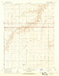
1966 · Ruleton SE
USGS Topo · 1:24,000
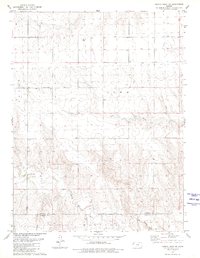
1979 · Harris Draw NE
USGS Topo · 1:24,000
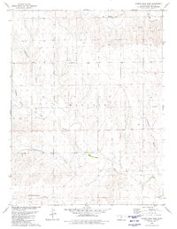
1979 · Harris Draw East
USGS Topo · 1:24,000