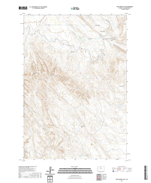
2021 Map of Wild Horse Flats
USGS Topo · Published 2021About this map
Wild Horse Flats occupies a central position in this Wyoming landscape, where the management of water is essential to the arid terrain. The intricate network of irrigation is visible through the Shell Canal and the Thompson Lateral, which feed into several catchments like Perkins Reservoir and Jones Reservoir. This infrastructure suggests a long-standing reliance on engineered water systems to support activity on the flats. To the north and east, the topography becomes more defined by prominent ridges and named drainages. Potato Ridge and Fox Mtn overlook a series of deep cuts including Sheldon Gulch and Scharen Gulch. Further south, the landscape is marked by the presence of Blue Ridge Reservoir and the appropriately named Wild Horse Draw. The area is connected by functional thoroughfares such as Haul RD and Torchlight RD, reflecting the practical transport needs of this part of Big Horn County.
Find a feature on this map
28 named features on this map. Tap any name to fly to it.
Don’t see what you’re looking for? This feature index may not catch every label — zoom into the map to look around manually.
Map Details
Editions of this 2021 Wild Horse Flats Map
This is the sole edition of this map. No revisions or reprints were ever made.
Other maps of this area

1898 · Bald Mountain
USGS Topo · 1:125,000

1901 · Bald Mountain
USGS Topo · 1:125,000

1955 · Cody
USGS Topo · 1:250,000

1955 · Sheridan
USGS Topo · 1:250,000

1958 · Cody
USGS Topo · 1:250,000

1958 · Sheridan
USGS Topo · 1:250,000

1960 · Manderson
USGS Topo · 1:24,000

1960 · Manderson NE
USGS Topo · 1:24,000

1960 · Devils Kitchen
USGS Topo · 1:24,000

1960 · Shell
USGS Topo · 1:24,000