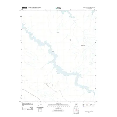
2011 Map of Wild Horse Mesa
USGS Topo · Published 2011About this map
Lake Powell dominates this high-desert landscape in northern Arizona, winding through narrow canyons and submerged valleys of Coconino County. The topography is defined by significant vertical relief, where massive sandstone formations such as Tower Butte and Wild Horse Mesa rise sharply from the surrounding terrain. These features, along with landmarks like Pinnacle Rock and the natural formation of Navajo Arch, highlight the geological complexity of the Colorado Plateau. Human access is limited to a solitary Forest Service Rd in the southern portion of the quadrangle, emphasizing the isolation and preserved character of the area around Labyrinth Bay. This survey captures the intersection of the reservoir's encroaching waters with the ancient, unyielding rock structures that define this part of the American Southwest.
Find a feature on this map
7 named features on this map. Tap any name to fly to it.
Don’t see what you’re looking for? This feature index may not catch every label — zoom into the map to look around manually.
Map Details
Editions of this 2011 Wild Horse Mesa Map
2 editions found
Other maps of this area

1886 · Escalante
USGS Topo · 1:250,000

1886 · Echo Cliffs
USGS Topo · 1:250,000

1891 · Echo Cliffs
USGS Topo · 1:250,000

1922 · Warm Creek
USGS Topo · 1:63,360

1953 · Cummings Mesa
USGS Topo · 1:62,500

1953 · Gunsight Butte
USGS Topo · 1:62,500

1954 · Leche-E Rock
USGS Topo · 1:62,500

1954 · Navajo Creek
USGS Topo · 1:62,500

1956 · Escalante
USGS Topo · 1:250,000

1956 · Marble Canyon
USGS Topo · 1:250,000