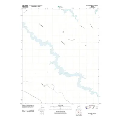
2011 Map of Wild Horse Mesa
USGS Topo · Published 2011About this map
Lake Powell winds through the heart of this high-desert landscape in northern Arizona, its shoreline defining the contours of Labyrinth Bay and the surrounding drainages. The area is dominated by significant geological rises, including the expansive Rainbow Plateau and the prominent Wild Horse Mesa that lends the quadrangle its name. Standing as distinct landmarks against the plateau are Tower Butte and Pinnacle Rock, while Cummings Mesa sits at the northwestern edge. This 2011 survey documents a largely roadless area, with only a solitary Forest Service Rd and a few unnamed tracks providing access from the south. The presence of traditional Navajo names like Kichii Niahi, Liilkiizh shijei, and Tso Binjoobaahi reflects the deep cultural heritage and historical geography of this section of the Navajo Nation.
Find a feature on this map
12 named features on this map. Tap any name to fly to it.
Don’t see what you’re looking for? This feature index may not catch every label — zoom into the map to look around manually.
Map Details
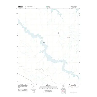
Editions of this 2011 Wild Horse Mesa Map
2 editions found
Other maps of this area

1886 · Escalante
USGS Topo · 1:250,000

1886 · Echo Cliffs
USGS Topo · 1:250,000

1891 · Echo Cliffs
USGS Topo · 1:250,000

1922 · Warm Creek
USGS Topo · 1:63,360

1953 · Cummings Mesa
USGS Topo · 1:62,500

1953 · Gunsight Butte
USGS Topo · 1:62,500

1954 · Leche-E Rock
USGS Topo · 1:62,500

1954 · Navajo Creek
USGS Topo · 1:62,500

1956 · Escalante
USGS Topo · 1:250,000

1956 · Marble Canyon
USGS Topo · 1:250,000