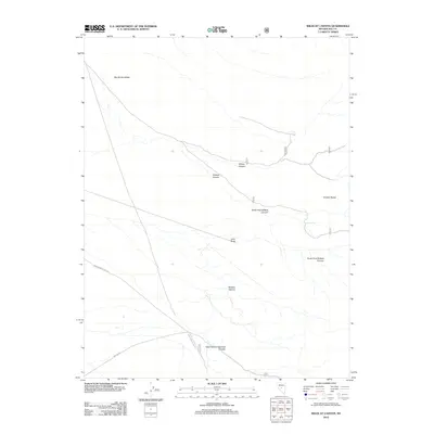
2012 Map of Wildcat Canyon
USGS Topo · Published 2012About this map
The Toiyabe Range dominates this portion of central Nevada, where the high mountains descend into the expansive Big Smoky Valley. This arid landscape is defined by its drainage network, featuring significant geological formations like Wildcat Canyon and the Hoodoo Canyon. Vital water sources such as Iron Spring and Jeans Spring appear as critical landmarks for anyone navigating this terrain.
Find a feature on this map
13 named features on this map. Tap any name to fly to it.
Don’t see what you’re looking for? This feature index may not catch every label — zoom into the map to look around manually.
Map Details
Editions of this 2012 Wildcat Canyon Map
This is the sole edition of this map. No revisions or reprints were ever made.
Other maps of this area

1907 · Tonopah
USGS Topo · 1:250,000

1908 · Tonopah
USGS Topo · 1:250,000

1926 · Roberts Mountains
USGS Topo · 1:250,000

1929 · Roberts Mountains
USGS Topo · 1:250,000

1955 · Millett
USGS Topo · 1:250,000

1956 · Millett Ranch
USGS Topo · 1:62,500

1956 · Tonopah
USGS Topo · 1:250,000

1959 · Tonopah
USGS Topo · 1:250,000

1959 · Millett
USGS Topo · 1:250,000

1960 · Wildcat Peak
USGS Topo · 1:62,500