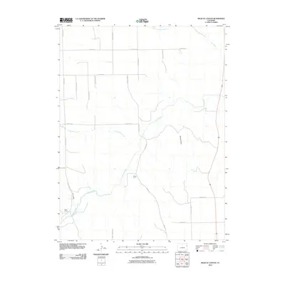
2010 Map of Wildcat Canyon
USGS Topo · Published 2010About this map
The Arikaree River winds through this High Plains landscape of eastern Colorado, defining a territory of wide drainage basins and ranching heritage. This 2010 survey highlights the rural character of Yuma County, where individual land holdings like McCoy Ranch and Mullin Ranch anchor the local geography. The topography is shaped by significant erosional features including Wildcat Canyon and Hay Gulch, which channel seasonal water toward larger systems like Sand Creek and the South Fork Black Wolf Creek.
Find a feature on this map
24 named features on this map. Tap any name to fly to it.
Don’t see what you’re looking for? This feature index may not catch every label — zoom into the map to look around manually.
Map Details
Editions of this 2010 Wildcat Canyon Map
This is the sole edition of this map. No revisions or reprints were ever made.
Other maps of this area

1950 · Bonny Reservoir
USGS Topo · 1:62,500

1954 · Limon
USGS Topo · 1:250,000

1957 · Limon
USGS Topo · 1:250,000

1958 · Limon
USGS Topo · 1:250,000

1963 · Vernon
USGS Topo · 1:24,000

1963 · Beecher Island
USGS Topo · 1:24,000

1963 · Beecher Island NW
USGS Topo · 1:24,000

1963 · Wildcat Canyon
USGS Topo · 1:24,000

1968 · Vernon SW
USGS Topo · 1:24,000

1968 · Bonny Reservoir North
USGS Topo · 1:24,000