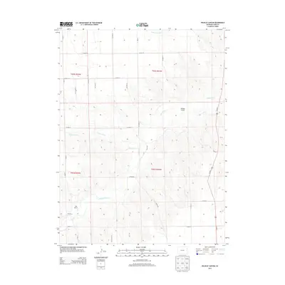
2013 Map of Wildcat Canyon
USGS Topo · Published 2013About this map
The Arikaree River winds through the high plains of eastern Yuma County, carving a distinct corridor through the prairie landscape. This 2013 survey reveals a rural territory defined by its watercourses and ranches, such as the McCoy Ranch and Mullin Ranch, which reflect the area's enduring agricultural identity. The terrain is marked by significant topographical features including the namesake Wildcat Canyon and Hay Gulch, alongside a network of seasonal streams like Copperkettle Cr and Sand Cr. A rigid grid of county roads, including Co Road 17 and Co Road 20, facilitates movement across the townships of t003s r044w and t002s r045w, while Us-385 N serves as the primary north-south artery for this corner of Colorado.
Find a feature on this map
29 named features on this map. Tap any name to fly to it.
Don’t see what you’re looking for? This feature index may not catch every label — zoom into the map to look around manually.
Map Details
Editions of this 2013 Wildcat Canyon Map
This is the sole edition of this map. No revisions or reprints were ever made.
Other maps of this area

1950 · Bonny Reservoir
USGS Topo · 1:62,500

1954 · Limon
USGS Topo · 1:250,000

1957 · Limon
USGS Topo · 1:250,000

1958 · Limon
USGS Topo · 1:250,000

1963 · Vernon
USGS Topo · 1:24,000

1963 · Beecher Island
USGS Topo · 1:24,000

1963 · Beecher Island NW
USGS Topo · 1:24,000

1963 · Wildcat Canyon
USGS Topo · 1:24,000

1968 · Vernon SW
USGS Topo · 1:24,000

1968 · Bonny Reservoir North
USGS Topo · 1:24,000