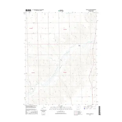
2016 Map of Wildcat Canyon
USGS Topo · Published 2016About this map
The Arikaree River carves a winding path through this corner of Yuma County, defining the drainage patterns and topography of the eastern Colorado plains. This 2016 survey highlights the intricate network of watercourses, including the Copperkettle Cr and the seasonal flows of Hay Gulch and Wildcat Canyon. The landscape is etched with a precise grid of county roads, such as Co Rd 20 and Co Rd 13, which delineate the sections and townships of this agricultural and ranching region. To the north, the S Fork Black Wolf Cr and Sand Cr intersect the plateau, illustrating the essential relationship between water sources and land management in the High Plains. The map's detail provides a clear view of the township and range system, including t2s r44w and t3s r45w, which remains fundamental to local property records and historical land use research.
Find a feature on this map
25 named features on this map. Tap any name to fly to it.
Don’t see what you’re looking for? This feature index may not catch every label — zoom into the map to look around manually.
Map Details
Editions of this 2016 Wildcat Canyon Map
This is the sole edition of this map. No revisions or reprints were ever made.
Other maps of this area

1950 · Bonny Reservoir
USGS Topo · 1:62,500

1954 · Limon
USGS Topo · 1:250,000

1957 · Limon
USGS Topo · 1:250,000

1958 · Limon
USGS Topo · 1:250,000

1963 · Vernon
USGS Topo · 1:24,000

1963 · Beecher Island
USGS Topo · 1:24,000

1963 · Beecher Island NW
USGS Topo · 1:24,000

1963 · Wildcat Canyon
USGS Topo · 1:24,000

1968 · Vernon SW
USGS Topo · 1:24,000

1968 · Bonny Reservoir North
USGS Topo · 1:24,000