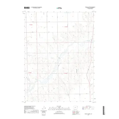
2019 Map of Wildcat Canyon
USGS Topo · Published 2019About this map
The Arikaree River winds through this section of the High Plains, creating a riparian corridor that contrasts sharply with the surrounding uplands of Yuma County. The local landscape is defined by the incision of Wildcat Canyon and the drainage of Copperkettle Cr, which feed into the river basin. The map reveals a structured grid of county roads, such as Co RD 20 and Co RD 19, which facilitate movement across the agricultural and grazing lands of eastern Colorado. This 2019 survey documents the enduring physical landmarks of the region, including Hay Gulch and S Fork Black Wolf Cr, illustrating how natural hydrology continues to dictate the layout of rural infrastructure and land use in this part of the state.
Find a feature on this map
25 named features on this map. Tap any name to fly to it.
Don’t see what you’re looking for? This feature index may not catch every label — zoom into the map to look around manually.
Map Details
Editions of this 2019 Wildcat Canyon Map
This is the sole edition of this map. No revisions or reprints were ever made.
Other maps of this area

1950 · Bonny Reservoir
USGS Topo · 1:62,500

1954 · Limon
USGS Topo · 1:250,000

1957 · Limon
USGS Topo · 1:250,000

1958 · Limon
USGS Topo · 1:250,000

1963 · Vernon
USGS Topo · 1:24,000

1963 · Beecher Island
USGS Topo · 1:24,000

1963 · Beecher Island NW
USGS Topo · 1:24,000

1963 · Wildcat Canyon
USGS Topo · 1:24,000

1968 · Vernon SW
USGS Topo · 1:24,000

1968 · Bonny Reservoir North
USGS Topo · 1:24,000