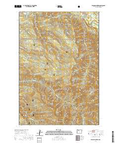
2020 Map of Wildcat Mountain
USGS Topo · Published 2020About this map
The northern settlement of Brightwood serves as the primary gateway into this portion of the Mount Hood National Forest, where the landscape is defined by the deep drainages of the Salmon Wild and Scenic River and the Eagle Creek Wild and Scenic River. High points including Wildcat Mtn, Old Baldy, and Huckleberry Mtn provide the topographical backbone for a network of forest roads and trails, such as the Eagle Creek Cutoff and the Douglas and Plaza routes. The complex water system, featuring Wildcat Cr, Alder Cr, and Cedar Cr, illustrates the heavy timber and high-elevation terrain of Clackamas County. This map details the intersection of historic land divisions like t3s r6e with modern protected wilderness areas, documenting the area's transition from an early 20th-century logging and recreation frontier to a managed national forest landscape.
Find a feature on this map
41 named features on this map. Tap any name to fly to it.
Don’t see what you’re looking for? This feature index may not catch every label — zoom into the map to look around manually.
Map Details
Editions of this 2020 Wildcat Mountain Map
This is the sole edition of this map. No revisions or reprints were ever made.
Other maps of this area

1916 · Estacada
USGS Topo · 1:125,000

1924 · Mount Hood
USGS Topo · 1:125,000

1927 · Mount Hood
USGS Topo · 1:125,000

1948 · Vancouver
USGS Topo · 1:250,000

1950 · Vancouver
USGS Topo · 1:250,000

1950 · Vancouver
USGS Topo · 1:250,000

1953 · The Dalles
USGS Topo · 1:250,000

1955 · Cherryville
USGS Topo · 1:62,500

1956 · The Dalles
USGS Topo · 1:250,000

1956 · Fish Creek Mtn
USGS Topo · 1:62,500