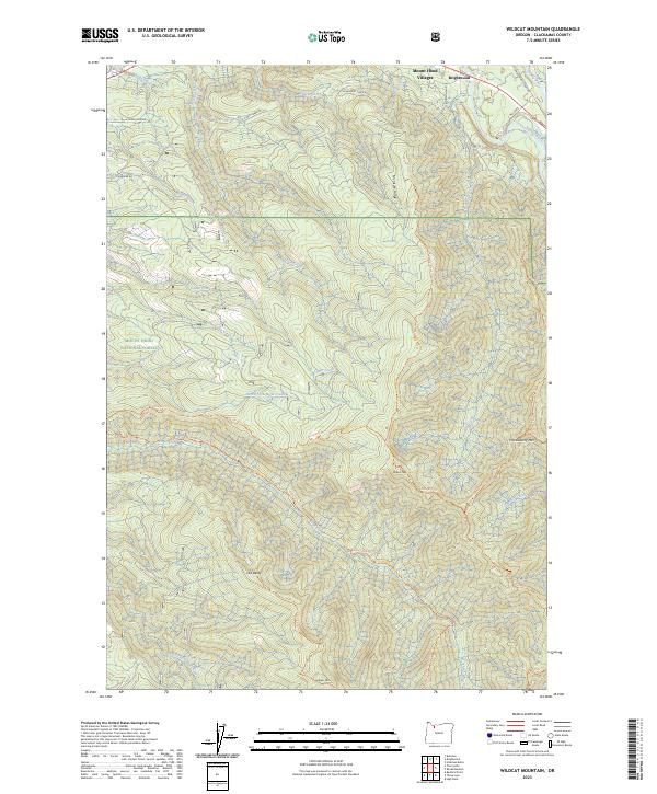
2023 Map of Wildcat Mountain
USGS Topo · Published 2023About this map
Brightwood and the Mount Hood Villages serve as the primary gateways to the high country of the Oregon Cascades on this survey. The terrain is dominated by the protected Salmon-Huckleberry Wilderness and the Mount Hood National Forest, where a network of trails like the Eagle Creek Trl and Old Baldy Trl follow the steep ridges and drainage basins. Two major watercourses are highlighted for their ecological significance: the Salmon Wild and Scenic River and the Eagle Creek Wild and Scenic River. The map illustrates a landscape of extreme relief, rising from the Sandy River valley to significant peaks such as Wildcat Mtn and Huckleberry Mtn, while residential corridors like E Alder Creek Rd follow the narrow valley floors.
Find a feature on this map
44 named features on this map. Tap any name to fly to it.
Don’t see what you’re looking for? This feature index may not catch every label — zoom into the map to look around manually.
Map Details
Editions of this 2023 Wildcat Mountain Map
This is the sole edition of this map. No revisions or reprints were ever made.
Other maps of this area

1916 · Estacada
USGS Topo · 1:125,000

1924 · Mount Hood
USGS Topo · 1:125,000

1927 · Mount Hood
USGS Topo · 1:125,000

1948 · Vancouver
USGS Topo · 1:250,000

1950 · Vancouver
USGS Topo · 1:250,000

1950 · Vancouver
USGS Topo · 1:250,000

1953 · The Dalles
USGS Topo · 1:250,000

1955 · Cherryville
USGS Topo · 1:62,500

1956 · The Dalles
USGS Topo · 1:250,000

1956 · Fish Creek Mtn
USGS Topo · 1:62,500