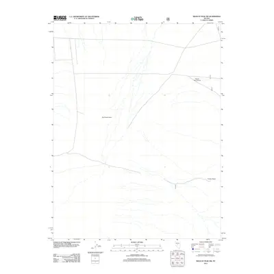
2012 Map of Wildcat Peak NW
USGS Topo · Published 2012About this map
Big Smoky Valley dominates this high-desert landscape in Nye County, showing a complex network of ephemeral drainage patterns that spread across the alluvial fans. The eastern edge of the Toiyabe Range rises sharply from the valley floor, creating a stark transition between the flat basin and the elevated terrain of the Great Basin. Clipper Gap Canyon cuts through these heights, serving as a primary geological conduit for seasonal runoff toward the valley below. While most of the watercourses here are intermittent, Rock Cr is a distinct feature on the western margin. This map documents a sparsely populated but ecologically significant portion of central Nevada, where the road network follows the natural contours of the basin-and-range topography, illustrating the limited infrastructure typical of this vast interior drainage system.
Find a feature on this map
4 named features on this map. Tap any name to fly to it.
Don’t see what you’re looking for? This feature index may not catch every label — zoom into the map to look around manually.
Map Details
Editions of this 2012 Wildcat Peak NW Map
This is the sole edition of this map. No revisions or reprints were ever made.
Other maps of this area

1926 · Roberts Mountains
USGS Topo · 1:250,000

1929 · Roberts Mountains
USGS Topo · 1:250,000

1955 · Millett
USGS Topo · 1:250,000

1956 · Millett Ranch
USGS Topo · 1:62,500

1956 · Austin
USGS Topo · 1:62,500

1959 · Millett
USGS Topo · 1:250,000

1960 · Spencer Hot Springs
USGS Topo · 1:62,500

1960 · Wildcat Peak
USGS Topo · 1:62,500

1978 · Summit Mountain
USGS Topo · 1:100,000

1985 · Smith Creek Valley
USGS Topo · 1:100,000