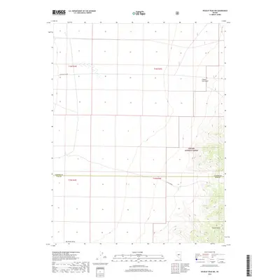
2018 Map of Wildcat Peak NW
USGS Topo · Published 2018About this map
The Toquima Range dominates the eastern landscape of this High Desert region, where the boundary between Lander Co and Nye Co cuts across the basin. In this transition between the mountains and the broad Big Smoky Valley, federal management is prominent through the Toyabe National Forest. The map documents a sparse but vital water network essential for high-altitude survival and livestock, including Co Line Spring and the drainage of Rock Cr. Terrain features like Clipper Gap Canyon define the travel corridors through the rugged interior, while the Public Land Survey System grid provides the primary framework for land navigation in this sparsely populated portion of central Nevada.
Find a feature on this map
12 named features on this map. Tap any name to fly to it.
Don’t see what you’re looking for? This feature index may not catch every label — zoom into the map to look around manually.
Map Details
Editions of this 2018 Wildcat Peak NW Map
This is the sole edition of this map. No revisions or reprints were ever made.
Other maps of this area

1926 · Roberts Mountains
USGS Topo · 1:250,000

1929 · Roberts Mountains
USGS Topo · 1:250,000

1955 · Millett
USGS Topo · 1:250,000

1956 · Millett Ranch
USGS Topo · 1:62,500

1956 · Austin
USGS Topo · 1:62,500

1959 · Millett
USGS Topo · 1:250,000

1960 · Spencer Hot Springs
USGS Topo · 1:62,500

1960 · Wildcat Peak
USGS Topo · 1:62,500

1978 · Summit Mountain
USGS Topo · 1:100,000

1985 · Smith Creek Valley
USGS Topo · 1:100,000