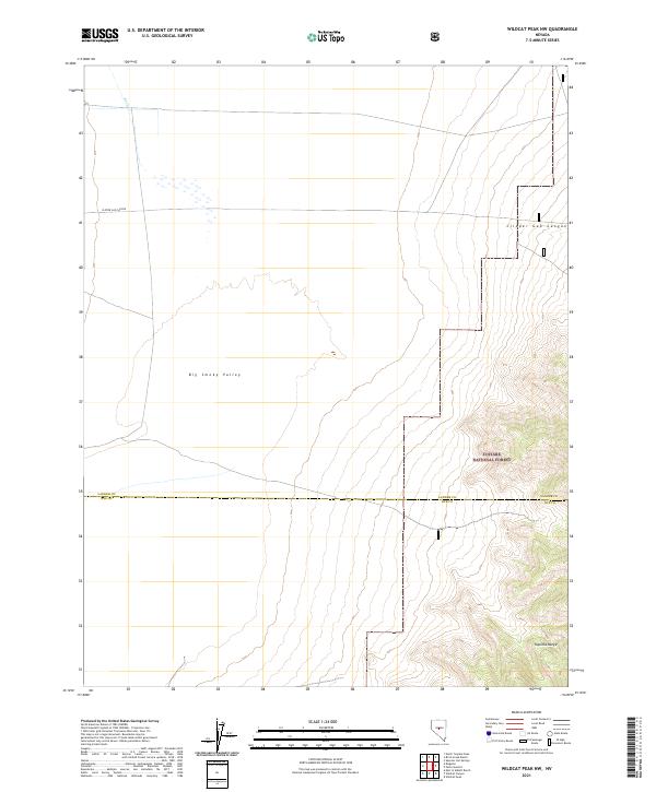
2021 Map of Wildcat Peak NW
USGS Topo · Published 2021About this map
Big Smoky Valley dominates the central portion of this survey, illustrating the broad, arid basins characteristic of central Nevada. The map documents the high-desert landscape as it transitions into the eastern elevations of the Toquima Range and the protected lands of the Toiyabe National Forest. The seasonal nature of the local hydrography is captured by the trace of Rock Cr in the northwest, which appears as a intermittent watercourse descending toward the valley floor. Straddling the jurisdictional boundary between Lander and Nye Counties, the map provides a precise layout of township and range sections that define the modern land use in this region. The absence of settlements emphasizes the remote, undeveloped character of these desert canyons, notably Clipper Gap Canyon, which cuts through the high ground on both the eastern and western edges of the sheet.
Find a feature on this map
11 named features on this map. Tap any name to fly to it.
Don’t see what you’re looking for? This feature index may not catch every label — zoom into the map to look around manually.
Map Details
Editions of this 2021 Wildcat Peak NW Map
This is the sole edition of this map. No revisions or reprints were ever made.
Other maps of this area

1926 · Roberts Mountains
USGS Topo · 1:250,000

1929 · Roberts Mountains
USGS Topo · 1:250,000

1955 · Millett
USGS Topo · 1:250,000

1956 · Millett Ranch
USGS Topo · 1:62,500

1956 · Austin
USGS Topo · 1:62,500

1959 · Millett
USGS Topo · 1:250,000

1960 · Spencer Hot Springs
USGS Topo · 1:62,500

1960 · Wildcat Peak
USGS Topo · 1:62,500

1978 · Summit Mountain
USGS Topo · 1:100,000

1985 · Smith Creek Valley
USGS Topo · 1:100,000