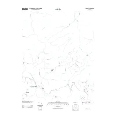
2013 Map of Wilder
USGS Topo · Published 2013About this map
Wilder and Highland anchor this Tennessee plateau landscape, where the rugged drainages of the E Fork Obey River have historically shaped the layout of settlements and transit. The map documents a network of small mountain communities including Davidson, Sandy, and Vine Ridge, connected by narrow ridge-top roads and winding creek-side tracks like Big Laurel Creek Rd.
Find a feature on this map
73 named features on this map. Tap any name to fly to it.
Don’t see what you’re looking for? This feature index may not catch every label — zoom into the map to look around manually.
Map Details
Editions of this 2013 Wilder Map
This is the sole edition of this map. No revisions or reprints were ever made.
Other maps of this area

1895 · Wartburg
USGS Topo · 1:125,000

1896 · Wartburg
USGS Topo · 1:125,000

1897 · Standingstone
USGS Topo · 1:125,000

1898 · Standingstone
USGS Topo · 1:125,000

1935 · Clarkrange
USGS Topo · 1:24,000

1936 · Jones Knob
USGS Topo · 1:24,000

1946 · Clarkrange
USGS Topo · 1:24,000

1946 · Obey City
USGS Topo · 1:24,000
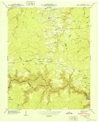
1949 · Jones Knob
USGS Topo · 1:24,000
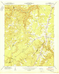
1950 · Clarkrange
USGS Topo · 1:24,000