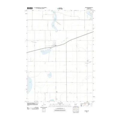
2010 Map of Wilder
USGS Topo · Published 2010About this map
Wilder stands as the primary settlement in this southwestern Minnesota landscape, situated along a prominent bend in the road system north of Timber Lake. The surrounding terrain is defined by a series of shallow basins and significant water bodies, including the expansive Heron Lake to the west and the chain-like String Lakes to the north. This region's agricultural character is evident in the rectilinear road grid and the presence of several established burial grounds, such as Wilder Cemetery, Saint Peter Cemetery, and Brill Cemetery, which serve as vital markers for genealogical research in the area. The hydrology is further managed through an extensive system of man-made waterways, including Judicial Ditch Number Twentyseven and Judicial Ditch Number Fiftyfour, which divert water toward the Des Moines River in the northeast corner of the quadrangle.
Find a feature on this map
34 named features on this map. Tap any name to fly to it.
Don’t see what you’re looking for? This feature index may not catch every label — zoom into the map to look around manually.
Map Details
Editions of this 2010 Wilder Map
This is the sole edition of this map. No revisions or reprints were ever made.
Other maps of this area

1954 · Fairmont
USGS Topo · 1:250,000

1958 · Fairmont
USGS Topo · 1:250,000

1960 · Okabena
USGS Topo · 1:24,000

1970 · Lakefield NE
USGS Topo · 1:24,000
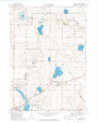
1970 · Bingham Lake
USGS Topo · 1:24,000
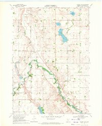
1970 · Harder Lake
USGS Topo · 1:24,000

1970 · Wilder
USGS Topo · 1:24,000

1970 · Lakefield
USGS Topo · 1:24,000

1970 · Windom
USGS Topo · 1:24,000
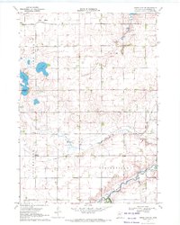
1970 · Heron Lake NE
USGS Topo · 1:24,000