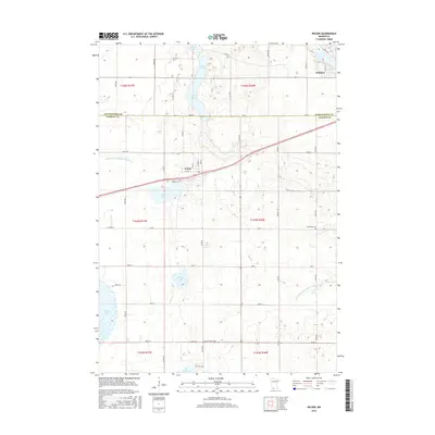
2016 Map of Wilder
USGS Topo · Published 2016About this map
Wilder stands at the center of this 2016 survey, situated along the county line where Cottonwood and Jackson Counties meet. This agricultural landscape in southwestern Minnesota is defined by its water management and glacial lakes, featuring a sophisticated network of canals like Judicial Ditch Number Fiftyfour and Judicial Ditch Number Fortyseven. The terrain is punctuated by significant water bodies, including the northern reaches of Heron Lake, Teal Lake, and the elongated String Lakes to the north.
Find a feature on this map
52 named features on this map. Tap any name to fly to it.
Don’t see what you’re looking for? This feature index may not catch every label — zoom into the map to look around manually.
Map Details
Editions of this 2016 Wilder Map
This is the sole edition of this map. No revisions or reprints were ever made.
Other maps of this area

1954 · Fairmont
USGS Topo · 1:250,000

1958 · Fairmont
USGS Topo · 1:250,000

1960 · Okabena
USGS Topo · 1:24,000

1970 · Lakefield NE
USGS Topo · 1:24,000
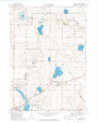
1970 · Bingham Lake
USGS Topo · 1:24,000
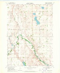
1970 · Harder Lake
USGS Topo · 1:24,000

1970 · Wilder
USGS Topo · 1:24,000

1970 · Lakefield
USGS Topo · 1:24,000

1970 · Windom
USGS Topo · 1:24,000
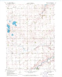
1970 · Heron Lake NE
USGS Topo · 1:24,000