2022 Map of Wilder
USGS Topo · Published 2022About this map
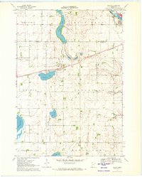
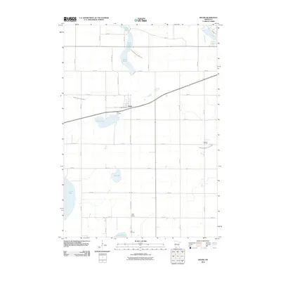
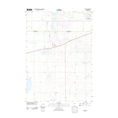
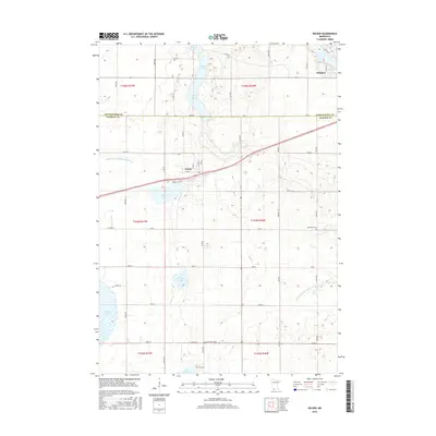
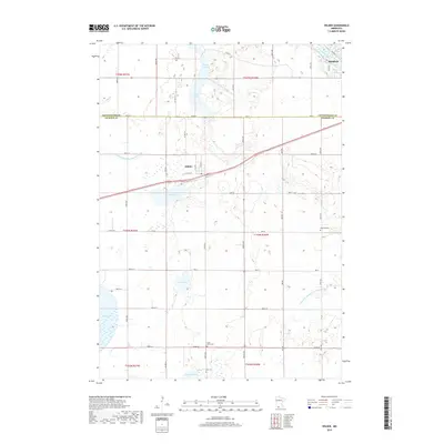
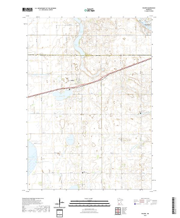
The town of Wilder serves as a central point in this prairie landscape, where the agricultural grid is defined by a complex network of managed waterways including Judicial Ditch Number Fiftyfour and Judicial Ditch Number Seventyfour. To the northeast, the Des Moines River passes near Windom, while the southern portion of the map is dominated by a chain of glacial water bodies, most notably the edge of Heron Lake and the smaller Teal Lake. This area of southwestern Minnesota shows a long-established pattern of rural life, evidenced by several community burial sites such as Wilder Cem, Delafield Cem, and Saint Peter Cem. The topography is shaped by the transition between Cottonwood and Jackson counties, featuring a mix of wetland depressions like String Lakes and Timber Lake alongside a high density of rural section roads and local highways.
Find a feature on this map
37 named features on this map. Tap any name to fly to it.
Don’t see what you’re looking for? This feature index may not catch every label — zoom into the map to look around manually.
Map Details
Editions of this 2022 Wilder Map
This is the sole edition of this map. No revisions or reprints were ever made.
Historical Maps of Windom Through Time
6 maps found