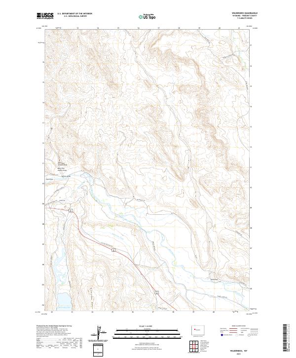
2021 Map of Wilderness
USGS Topo · Published 2021About this map
Wind River and the complex irrigation networks of the Wind-River-Canal and Dinwoody Canal define this landscape in the Fremont County high country. The terrain is characterized by dramatic elevation changes, from the depths of Dinwoody Lake to the prominent heights of Dinwoody Ridge. The mapping records a high-altitude agricultural and ranching environment where water management is paramount, evidenced by the presence of Lannigans Ditch and several named draws including Jenkins Draw and Coal Draw. Significant thoroughfares like the Old Yellowstone Hwy and Burris-Lenore Rd cut across the drainage basins, connecting this remote territory to the wider Wyoming transport network. This 2021 survey provides a contemporary look at the intersection of natural watercourses like Dinwoody Cr and the engineered systems that support the region's land use.
Find a feature on this map
27 named features on this map. Tap any name to fly to it.
Don’t see what you’re looking for? This feature index may not catch every label — zoom into the map to look around manually.
Map Details
Editions of this 2021 Wilderness Map
This is the sole edition of this map. No revisions or reprints were ever made.
Other maps of this area

1904 · Kirwin
USGS Topo · 1:125,000

1906 · Kirwin
USGS Topo · 1:125,000

1952 · Wilderness
USGS Topo · 1:24,000

1952 · Hays Park
USGS Topo · 1:24,000

1952 · Crowheart NW
USGS Topo · 1:24,000

1952 · Blue Holes
USGS Topo · 1:24,000

1952 · Crowheart
USGS Topo · 1:24,000

1952 · Burris
USGS Topo · 1:24,000

1955 · Thermopolis
USGS Topo · 1:250,000

1958 · Thermopolis
USGS Topo · 1:250,000