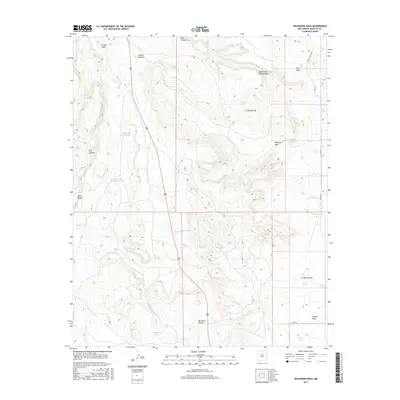
2017 Map of Wildhorse Mesa
USGS Topo · Published 2017About this map
Wildhorse Mesa and Pine Mesa dominate the high ground in this part of Santa Fe County, where water management is the defining feature of the landscape. The geography is etched with an intricate network of drainage systems like Buckhorn Canyon and Franks Draw, alongside numerous man-made livestock tanks such as Estracada Tank Number 1, King Tank, and Comanche Tank. These features, scattered across the high plains, reflect the historical and ongoing reliance on catchment systems in New Mexico's arid environment. Evidence of local settlement and land use is visible along Ojo De La Vaca Rd and near Young Lake. Natural water sources, including The Seep and Cañoncito Spring, punctuate the terrain near the White Bluffs, offering vital points of interest for those studying the intersection of topography and ranching history in the high desert.
Find a feature on this map
32 named features on this map. Tap any name to fly to it.
Don’t see what you’re looking for? This feature index may not catch every label — zoom into the map to look around manually.
Map Details
Editions of this 2017 Wildhorse Mesa Map
This is the sole edition of this map. No revisions or reprints were ever made.
Other maps of this area

1894 · Lamy
USGS Topo · 1:125,000

1954 · Santa Fe
USGS Topo · 1:250,000

1958 · Santa Fe
USGS Topo · 1:250,000

1960 · Stanley
USGS Topo · 1:62,500
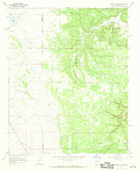
1966 · Mesa El Toro
USGS Topo · 1:24,000
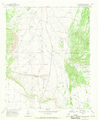
1966 · Ojo Hedionda
USGS Topo · 1:24,000
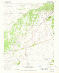
1966 · Galisteo
USGS Topo · 1:24,000
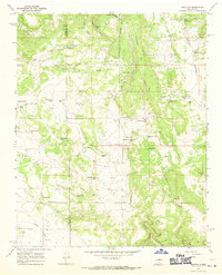
1966 · Rencona
USGS Topo · 1:24,000
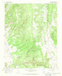
1966 · Bull Canyon
USGS Topo · 1:24,000
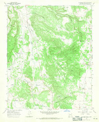
1966 · Wildhorse Mesa
USGS Topo · 1:24,000