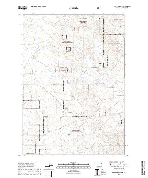
2021 Map of Wildlife Draw West
USGS Topo · Published 2021About this map
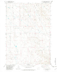
Thunder Basin National Grassland dominates this portion of Weston County, illustrating a landscape defined by expansive public rangelands and seasonal drainage systems. The map detail highlights the hydrological network of the high plains, where intermittent streams like Lodgepole Creek and Sage Creek carve through the terrain. Human modification for livestock or wildlife management is evident in the presence of the S Lodge Pole Number 1 Reservoir and the uniquely named Cellers Wildlife 9-499-3 Reservoir. These water sources are critical focal points in an otherwise arid environment, dictating the movement of both wildlife and ranching operations. The topography is further characterized by distinct erosional features such as Rough Draw and Wildcat Draw, which provide a clear picture of the area's natural drainage patterns and land contours within the grassland's boundaries.
Find a feature on this map
13 named features on this map. Tap any name to fly to it.
Don’t see what you’re looking for? This feature index may not catch every label — zoom into the map to look around manually.
Map Details
Editions of this 2021 Wildlife Draw West Map
This is the sole edition of this map. No revisions or reprints were ever made.
Other maps of this area

1955 · Newcastle
USGS Topo · 1:250,000

1958 · Newcastle
USGS Topo · 1:250,000

1971 · Piney Canyon NE
USGS Topo · 1:24,000
1971 · Jim Creek
USGS Topo · 1:24,000
1971 · Buck Creek
USGS Topo · 1:24,000

1974 · Reno Junction
USGS Topo · 1:100,000

1979 · Newcastle
USGS Topo · 1:100,000
1982 · Darlington Draw West
USGS Topo · 1:24,000
1982 · Wildlife Draw West
USGS Topo · 1:24,000
1982 · Wildlife Draw East
USGS Topo · 1:24,000