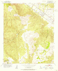
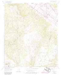
1953 Map of Wildomar
USGS Topo · Published 1955About this map
Wildomar sits at the base of the Elsinore Mountains, anchoring a landscape where agricultural valley floors transition into the protected heights of the Cleveland National Forest. In the early 1950s, the area reflects a deeply rooted ranching economy, with named holdings such as Morrell Ranch, Los Alamos Ranch, and Santa Rosa Ranch scattered across the rugged terrain. Transportation is defined by the Laguna (Stearns) railroad line and a network of fire roads like the Main Divide Truck Trail and Wildomar Truck Trail navigating the high ridges.
Find a feature on this map
36 named features on this map. Tap any name to fly to it.
Don’t see what you’re looking for? This feature index may not catch every label — zoom into the map to look around manually.
Map Details
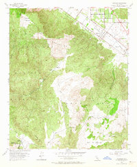
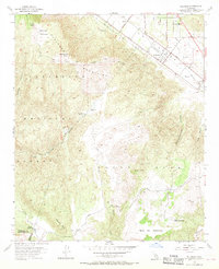
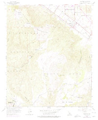
Editions of this 1953 Wildomar Map
6 editions found
Other maps of this area

1901 · Southern California Sheet No. 1
USGS Topo · 1:250,000

1901 · Elsinore
USGS Topo · 1:125,000

1901 · San Luis Rey
USGS Topo · 1:125,000

1904 · Southern California Sheet No. 2
USGS Topo · 1:250,000

1904 · Southern California Sheet No. 1
USGS Topo · 1:250,000

1941 · Margarita Peak
USGS Topo · 1:62,500

1942 · Lake Elsinore
USGS Topo · 1:62,500

1942 · Margarita Peak
USGS Topo · 1:62,500

1942 · Temecula
USGS Topo · 1:62,500

1942 · Murrieta
USGS Topo · 1:62,500