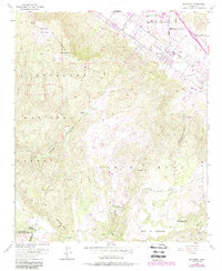
1953 Map of Wildomar
USGS Topo · Published 1988About this map
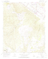
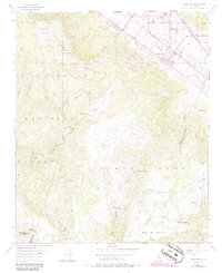
Wildomar and the eastern slopes of the Elsinore Mountains dominate this survey, which captures the region's mid-century rural character updated with 1980s photographic revisions. The settlement pattern is defined by traditional ranching lands such as Morrell Ranch and Los Alamos Ranch, while the northeast corner shows the grid-like development along Grand Ave and Palomar Street. High-elevation landmarks like Elsinore Peak and Squaw Mtn overlook a complex system of drainages, including Slaughterhouse Canyon and Cole Canyon.
Find a feature on this map
32 named features on this map. Tap any name to fly to it.
Don’t see what you’re looking for? This feature index may not catch every label — zoom into the map to look around manually.
Map Details
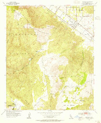
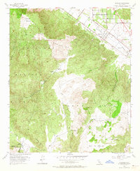
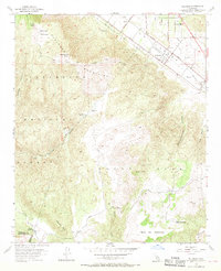
Editions of this 1953 Wildomar Map
6 editions found
Other maps of this area

1901 · Southern California Sheet No. 1
USGS Topo · 1:250,000

1901 · Elsinore
USGS Topo · 1:125,000

1901 · San Luis Rey
USGS Topo · 1:125,000

1904 · Southern California Sheet No. 2
USGS Topo · 1:250,000

1904 · Southern California Sheet No. 1
USGS Topo · 1:250,000

1941 · Margarita Peak
USGS Topo · 1:62,500

1942 · Lake Elsinore
USGS Topo · 1:62,500

1942 · Margarita Peak
USGS Topo · 1:62,500

1942 · Temecula
USGS Topo · 1:62,500

1942 · Murrieta
USGS Topo · 1:62,500