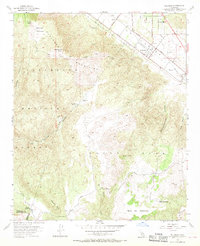
1953 Map of Wildomar
USGS Topo · Published 1970About this map
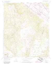
Wildomar sits at the base of the Elsinore Mountains, where the valley floor meets the high-elevation terrain of the Cleveland National Forest. The map shows a mid-century landscape of ranching and early settlement, characterized by scattered homesteads like Morrell Ranch and Los Alamos Ranch tucked into the canyons. Dominating the western skyline is Elsinore Peak, while the southern reaches of the quadrangle transition into the broad plateaus of Mesa De Colorado and Mesa De La Punta. Local travel in the 1950s relied on a network of unpaved tracks and primary thoroughfares like Grand Ave and Corydon Road. Evidence of early resource exploration is found at a Prospect located near the head of Slaughterhouse Canyon. The boundary between Riverside and San Diego Counties crosses the southern portion of the sheet near the Tenaja Guard Station, marking a remote transition between the forest and the open rangeland of Santa Rosa.
Find a feature on this map
34 named features on this map. Tap any name to fly to it.
Don’t see what you’re looking for? This feature index may not catch every label — zoom into the map to look around manually.
Map Details
Editions of this 1953 Wildomar Map
6 editions found
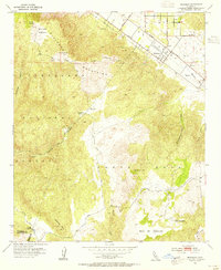
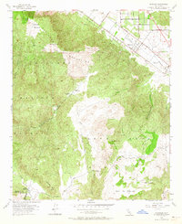
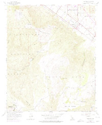
Other maps of this area

1901 · Southern California Sheet No. 1
USGS Topo · 1:250,000

1901 · Elsinore
USGS Topo · 1:125,000

1901 · San Luis Rey
USGS Topo · 1:125,000

1904 · Southern California Sheet No. 2
USGS Topo · 1:250,000

1904 · Southern California Sheet No. 1
USGS Topo · 1:250,000

1941 · Margarita Peak
USGS Topo · 1:62,500

1942 · Lake Elsinore
USGS Topo · 1:62,500

1942 · Margarita Peak
USGS Topo · 1:62,500

1942 · Temecula
USGS Topo · 1:62,500

1942 · Murrieta
USGS Topo · 1:62,500