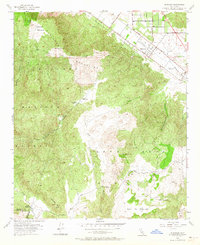
1953 Map of Wildomar
USGS Topo · Published 1964About this map
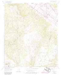
Wildomar and the northeastern corner of the Cleveland National Forest dominate this mid-century landscape in Riverside County. The settlement at Wildomar is arranged along the A T & S F Ry and arterial roads like Palomar Street and Grand Ave, while the interior remains defined by large ranching operations. Significant local history is preserved in the locations of Morrell Ranch, Los Alamos Ranch, and Santa Rosa Ranch.
Find a feature on this map
31 named features on this map. Tap any name to fly to it.
Don’t see what you’re looking for? This feature index may not catch every label — zoom into the map to look around manually.
Map Details
Editions of this 1953 Wildomar Map
6 editions found
Other maps of this area

1901 · Southern California Sheet No. 1
USGS Topo · 1:250,000

1901 · Elsinore
USGS Topo · 1:125,000

1901 · San Luis Rey
USGS Topo · 1:125,000

1904 · Southern California Sheet No. 2
USGS Topo · 1:250,000

1904 · Southern California Sheet No. 1
USGS Topo · 1:250,000

1941 · Margarita Peak
USGS Topo · 1:62,500

1942 · Lake Elsinore
USGS Topo · 1:62,500

1942 · Margarita Peak
USGS Topo · 1:62,500

1942 · Temecula
USGS Topo · 1:62,500

1942 · Murrieta
USGS Topo · 1:62,500