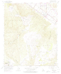
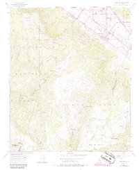
1953 Map of Wildomar
USGS Topo · Published 1975About this map
The settlement of Wildomar sits at the foot of the Elsinore Mountains, serving as a focal point for the region's early transportation and agriculture. This mid-century landscape is defined by its transition from the valley floor along Murrieta Creek up into the high terrain of the Cleveland National Forest. Notable landmarks such as Elsinore Peak and Squaw Mtn dominate the skyline, while the network of unpaved paths like the Main Divide Truck Trail and Tenaja Truck Trail indicates a remote backcountry economy dependent on forest management and ranching.
Find a feature on this map
34 named features on this map. Tap any name to fly to it.
Don’t see what you’re looking for? This feature index may not catch every label — zoom into the map to look around manually.
Map Details
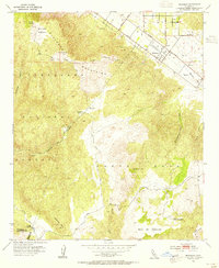
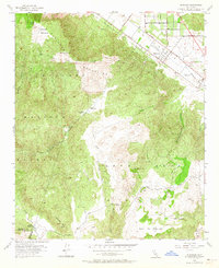
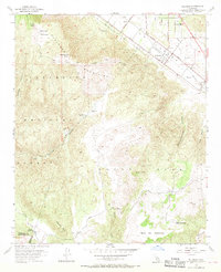
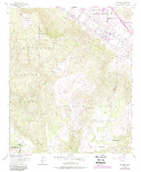
Editions of this 1953 Wildomar Map
6 editions found
Other maps of this area

1901 · Southern California Sheet No. 1
USGS Topo · 1:250,000

1901 · Elsinore
USGS Topo · 1:125,000

1901 · San Luis Rey
USGS Topo · 1:125,000

1904 · Southern California Sheet No. 2
USGS Topo · 1:250,000

1904 · Southern California Sheet No. 1
USGS Topo · 1:250,000

1941 · Margarita Peak
USGS Topo · 1:62,500

1942 · Lake Elsinore
USGS Topo · 1:62,500

1942 · Margarita Peak
USGS Topo · 1:62,500

1942 · Temecula
USGS Topo · 1:62,500

1942 · Murrieta
USGS Topo · 1:62,500