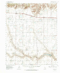
1984 Map of Wildorado
USGS Topo · Published 1984About this map
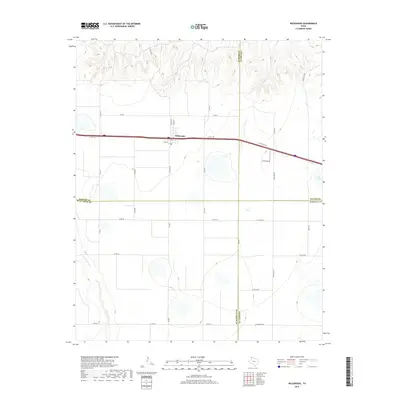
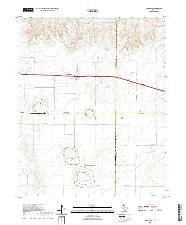
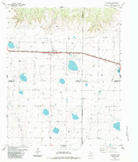
Wildorado serves as the focal point of this Panhandle landscape, where the agricultural economy is clearly defined by an Elevator and a large Feedlot along the transport corridor. The town sits at a geographic crossroads where four counties—Oldham, Potter, Randall, and Deaf Smith—converge. While modern infrastructure like a substation and pipeline traverse the plains, the presence of an Old Railroad Grade marks the shifting patterns of transit and commerce in the region. The terrain is etched by drainage systems including Wildorado Creek, Daniels Creek, and Pedrosa Creek, which cut through the high plains toward the North Palo Duro Creek in the southwest. Local landmarks like the Highland School and Ida Lake provide specific points of interest for those tracing the mid-century social and physical geography of the area.
Find a feature on this map
22 named features on this map. Tap any name to fly to it.
Don’t see what you’re looking for? This feature index may not catch every label — zoom into the map to look around manually.
Map Details
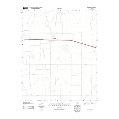
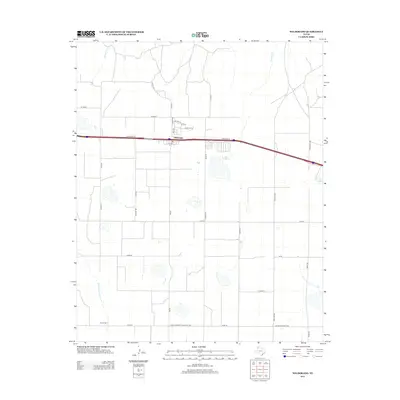
Editions of this 1984 Wildorado Map
This is the sole edition of this map. No revisions or reprints were ever made.
Historical Maps of Wildorado Through Time
7 maps found