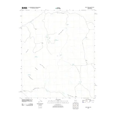
2010 Map of Wiley Mesa
USGS Topo · Published 2010About this map
Wiley Mesa and the surrounding high desert of Cibola County are defined by a complex network of canyons and high plateaus. The landscape is carved by deep drainages including Miguel Chavez Canyon, Painted Rock Canyon, and the Rio Salado which traverses the southern portion of the sheet. Human presence in this arid environment is tied closely to water management, as evidenced by a series of specialized catchments like Tadpole Tank, Gist Tanks, and Middle Mesa Tank.
Find a feature on this map
28 named features on this map. Tap any name to fly to it.
Don’t see what you’re looking for? This feature index may not catch every label — zoom into the map to look around manually.
Map Details
Editions of this 2010 Wiley Mesa Map
This is the sole edition of this map. No revisions or reprints were ever made.
Other maps of this area

1917 · Broom Mountain
USGS Topo · 1:125,000

1954 · Socorro
USGS Topo · 1:250,000

1958 · Socorro
USGS Topo · 1:250,000

1962 · Socorro
USGS Topo · 1:250,000
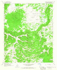
1964 · Cebollita Peak
USGS Topo · 1:24,000

1964 · Table Mountain
USGS Topo · 1:24,000

1964 · Wiley Mesa
USGS Topo · 1:24,000

1964 · Pasture Canyon
USGS Topo · 1:24,000
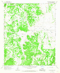
1964 · Mecate Meadow
USGS Topo · 1:24,000
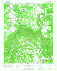
1964 · Wild Horse Canyon
USGS Topo · 1:24,000