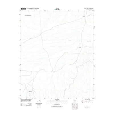
2012 Map of Wiley Well
USGS Topo · Published 2012About this map
The Geode Beds define the southern landscape of this California desert region, situated where the Little Chuckwalla Mountains meet the desert floor. This 2012 survey illustrates a rugged corridor of transit and temporary habitation, anchored by the namesake Wiley Well in the northeast. The infrastructure of the area is primarily geared toward travelers and rockhounds, with the Wiley Well Campground and Coon Hollow Campground providing nodes of activity along Wiley Well Rd.
Find a feature on this map
11 named features on this map. Tap any name to fly to it.
Don’t see what you’re looking for? This feature index may not catch every label — zoom into the map to look around manually.
Map Details
Editions of this 2012 Wiley Well Map
This is the sole edition of this map. No revisions or reprints were ever made.
Other maps of this area

1942 · Blythe
USGS Topo · 1:250,000

1952 · Mc Coy Spring
USGS Topo · 1:62,500

1952 · Sidewinder Well
USGS Topo · 1:62,500

1953 · Palo Verde Mountains
USGS Topo · 1:62,500

1953 · Chuckwalla Spring
USGS Topo · 1:62,500

1954 · Salton Sea
USGS Topo · 1:250,000

1955 · Salton Sea
USGS Topo · 1:250,000

1959 · Salton Sea
USGS Topo · 1:250,000

1963 · Salton Sea
USGS Topo · 1:250,000

1965 · Salton Sea
USGS Topo · 1:250,000