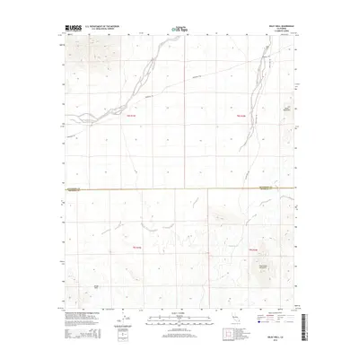
2015 Map of Wiley Well
USGS Topo · Published 2015About this map
Wiley Well and the surrounding desert landscape of the Mule Mountains define this corner of the Colorado Desert in the mid-2010s. The map illustrates a region crossing the Riverside and Imperial County line, characterized by its reliance on intermittent water sources and historical transit corridors. The presence of the Geode Beds suggests the area's significance for mineral collectors and geologists, while Tadpole Tank provides a vital point of interest for understanding desert hydrology. Remote transportation is marked by the path of the Bradshaw Trl, a historic stage route, and Wiley's Well Rd, which connect the desert floor to the rising topography of the Palo Verde Mountains. The survey provides a clear view of the section lines and township boundaries, including t8s r19e and t9s r20e, essential for locating specific land parcels in this arid terrain.
Find a feature on this map
12 named features on this map. Tap any name to fly to it.
Don’t see what you’re looking for? This feature index may not catch every label — zoom into the map to look around manually.
Map Details
Editions of this 2015 Wiley Well Map
This is the sole edition of this map. No revisions or reprints were ever made.
Other maps of this area

1942 · Blythe
USGS Topo · 1:250,000

1952 · Mc Coy Spring
USGS Topo · 1:62,500

1952 · Sidewinder Well
USGS Topo · 1:62,500

1953 · Palo Verde Mountains
USGS Topo · 1:62,500

1953 · Chuckwalla Spring
USGS Topo · 1:62,500

1954 · Salton Sea
USGS Topo · 1:250,000

1955 · Salton Sea
USGS Topo · 1:250,000

1959 · Salton Sea
USGS Topo · 1:250,000

1963 · Salton Sea
USGS Topo · 1:250,000

1965 · Salton Sea
USGS Topo · 1:250,000