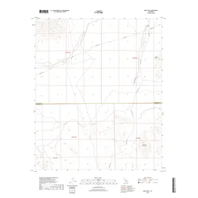
2018 Map of Wiley Well
USGS Topo · Published 2018About this map
Wileys Well Rd cuts through the arid landscape of the Sonoran Desert, marking a transition between the Mule Mountains and the Palo Verde Mountains near the Riverside Co Imperial Co border. This area is defined by the historic Bradshaw Trl, an essential desert transit route that predates modern infrastructure. The presence of the Coon Hollow Campground and the Geode Beds highlights the area's significance for rockhounding and primitive desert recreation. Wiley Well remains a critical water point in a landscape otherwise dominated by seasonal drainages like Milpitas Wash Rd, reflecting the sparse but vital network of resources that sustained early travelers through this portion of southeastern California.
Find a feature on this map
13 named features on this map. Tap any name to fly to it.
Don’t see what you’re looking for? This feature index may not catch every label — zoom into the map to look around manually.
Map Details
Editions of this 2018 Wiley Well Map
This is the sole edition of this map. No revisions or reprints were ever made.
Other maps of this area

1942 · Blythe
USGS Topo · 1:250,000

1952 · Mc Coy Spring
USGS Topo · 1:62,500

1952 · Sidewinder Well
USGS Topo · 1:62,500

1953 · Palo Verde Mountains
USGS Topo · 1:62,500

1953 · Chuckwalla Spring
USGS Topo · 1:62,500

1954 · Salton Sea
USGS Topo · 1:250,000

1955 · Salton Sea
USGS Topo · 1:250,000

1959 · Salton Sea
USGS Topo · 1:250,000

1963 · Salton Sea
USGS Topo · 1:250,000

1965 · Salton Sea
USGS Topo · 1:250,000