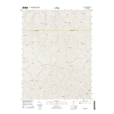
2014 Map of Wileyville
USGS Topo · Published 2014About this map
Saint Joseph and Millsboro anchor the high ridges of this Appalachian landscape, where the border between Marshall Co and Wetzel Co divides a region defined by narrow hollows and family-named landmarks. The settlement pattern follows the drainage of Little Fishing Cr and its many tributaries, including Rush Run and Scheidler Run. For genealogists, the map is a significant record of rural community life, documenting numerous upland burial sites such as Saint Josephs Cem, Harland Cem, and Mt Olive Cem.
Find a feature on this map
110 named features on this map. Tap any name to fly to it.
Don’t see what you’re looking for? This feature index may not catch every label — zoom into the map to look around manually.
Map Details
Editions of this 2014 Wileyville Map
This is the sole edition of this map. No revisions or reprints were ever made.
Other maps of this area

1903 · Littleton
USGS Topo · 1:62,500

1904 · Cameron
USGS Topo · 1:62,500

1905 · Littleton
USGS Topo · 1:62,500
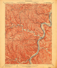
1905 · Clarington
USGS Topo · 1:62,500
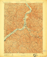
1906 · New Martinsville
USGS Topo · 1:62,500
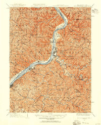
1924 · New Martinsville
USGS Topo · 1:62,500
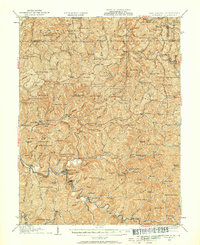
1924 · Littleton
USGS Topo · 1:62,500
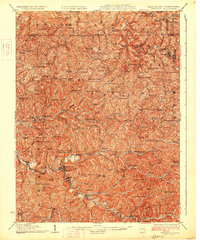
1926 · Littleton
USGS Topo · 1:62,500
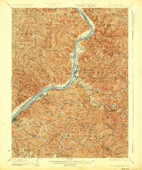
1926 · New Martinsville
USGS Topo · 1:62,500

1935 · Cameron
USGS Topo · 1:62,500