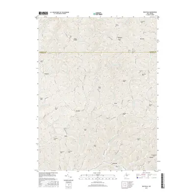
2016 Map of Wileyville
USGS Topo · Published 2016About this map
Saint Joseph and the southern edge of the Marshall Co line anchor the northern reaches of this portrait of the West Virginia panhandle. The terrain is defined by a dense network of ridges and narrow hollows, where small settlements like Bebee, Newdale, and West follow the winding course of local road networks. Waterways such as Lynn Camp Run and Schedler Run carve through the land, illustrating the topographical challenges faced by early residents and farmers in this part of the Appalachian Plateau.
Find a feature on this map
92 named features on this map. Tap any name to fly to it.
Don’t see what you’re looking for? This feature index may not catch every label — zoom into the map to look around manually.
Map Details
Editions of this 2016 Wileyville Map
This is the sole edition of this map. No revisions or reprints were ever made.
Other maps of this area

1903 · Littleton
USGS Topo · 1:62,500

1904 · Cameron
USGS Topo · 1:62,500

1905 · Littleton
USGS Topo · 1:62,500

1905 · Clarington
USGS Topo · 1:62,500

1906 · New Martinsville
USGS Topo · 1:62,500

1924 · New Martinsville
USGS Topo · 1:62,500

1924 · Littleton
USGS Topo · 1:62,500

1926 · Littleton
USGS Topo · 1:62,500

1926 · New Martinsville
USGS Topo · 1:62,500

1935 · Cameron
USGS Topo · 1:62,500