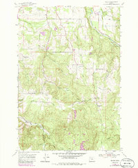
1955 Map of Wilhoit
USGS Topo · Published 1985About this map
Wilhoit serves as a central landmark in this mid-century survey of the rugged borderland between Clackamas Co and Marion Co. The landscape is defined by the heavy drainage systems of Teasel Creek, Rock Creek, and Beaver Creek, punctuated by significant elevations like High Hill and Missouri Ridge. Human settlement is sparse and utilitarian, centered around rural educational sites such as Beaver Lake Sch and Maple Grove School, alongside a noted instance of a vanished institution at the Wildcat School (Aband). Industrial activity is evident through numerous extraction sites, including the Berrenth Quarry and Yoder Quarry, which are linked by a network of winding timber and access roads like Sawtell Road and Forest Road. For genealogists, the map preserves the exact locations of several pioneer burial grounds, such as Dart Cem and Adams Cem.
Find a feature on this map
42 named features on this map. Tap any name to fly to it.
Don’t see what you’re looking for? This feature index may not catch every label — zoom into the map to look around manually.
Map Details
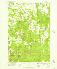
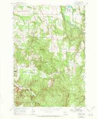
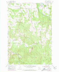
Editions of this 1955 Wilhoit Map
4 editions found
Other maps of this area

1916 · Estacada
USGS Topo · 1:125,000

1929 · Mill City
USGS Topo · 1:125,000

1939 · Molalla
USGS Topo · 1:62,500

1940 · Molalla
USGS Topo · 1:62,500

1948 · Vancouver
USGS Topo · 1:250,000

1950 · Vancouver
USGS Topo · 1:250,000

1950 · Vancouver
USGS Topo · 1:250,000

1951 · Lyons
USGS Topo · 1:62,500

1953 · Salem
USGS Topo · 1:250,000

1954 · Salem
USGS Topo · 1:250,000