
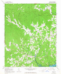
1966 Map of Wilkesboro
USGS Topo · Published 1968About this map
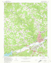
The confluence of the Reddies River and the Yadkin River serves as the focal point for this mid-1960s study of Wilkes County. The landscape is defined by the burgeoning industrial and civic centers of North Wilkesboro and Wilkesboro, connected by a network of local roads like Us 421 and the Southern Railway line. To the west, the engineering of the W Kerr Scott Dam has created the Kerr Scott Reservoir, a massive water management feature that reshaped the local topography.
Find a feature on this map
68 named features on this map. Tap any name to fly to it.
Don’t see what you’re looking for? This feature index may not catch every label — zoom into the map to look around manually.
Map Details
Editions of this 1966 Wilkesboro Map
2 editions found
Other maps of this area

1889 · Wilkesboro
USGS Topo · 1:125,000

1891 · Wilkesboro
USGS Topo · 1:125,000

1953 · Winston-Salem
USGS Topo · 1:250,000

1955 · Winston-Salem
USGS Topo · 1:250,000

1962 · Winston-Salem
USGS Topo · 1:250,000
1966 · Gilreath
USGS Topo · 1:24,000

1966 · Roaring River
USGS Topo · 1:24,000
1966 · Boomer
USGS Topo · 1:24,000
1966 · Moravian Falls
USGS Topo · 1:24,000
1966 · Purlear
USGS Topo · 1:24,000