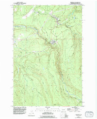
1956 Map of Wilkeson
USGS Topo · Published 1994About this map
Industrial heritage and deep river canyons define the landscape of northern Pierce County in the mid-1950s. The settlement of Wilkeson sits at the northern end of this reach, showing the local Coke Ovens and a Filtration Plant near the banks of Wilkeson Creek. To the south, the town of Carbonado is situated on a high plateau above the Carbon River, which winds through a steep gorge between the Wingate Hills and Gleason Hill. Evidence of the area's extraction history is visible in the numerous Caves, Quarry sites, and an Old Railroad Grade that once connected these mining communities. The map also captures the isolated site of Fairfax and the Fairfax Bridge near the southern boundary, where the river meets Evans Creek. Away from the industrial centers, the terrain rises toward Brooks Hill and Cowling Ridge, providing a look at the natural drainage of Voight Creek and Gale Creek.
Find a feature on this map
39 named features on this map. Tap any name to fly to it.
Don’t see what you’re looking for? This feature index may not catch every label — zoom into the map to look around manually.
Map Details
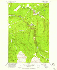
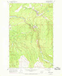
Editions of this 1956 Wilkeson Map
3 editions found
Other maps of this area

1897 · Tacoma
USGS Topo · 1:125,000

1900 · Tacoma
USGS Topo · 1:125,000

1913 · Cedar Lake
USGS Topo · 1:125,000

1924 · Mt Rainier
USGS Topo · 1:96,000

1928 · Mt Rainier
USGS Topo · 1:125,000

1937 · Eatonville
USGS Topo · 1:125,000

1942 · Lake Tapps
USGS Topo · 1:62,500

1944 · Lake Tapps
USGS Topo · 1:62,500

1950 · Yakima
USGS Topo · 1:250,000

1953 · Hoquiam
USGS Topo · 1:250,000