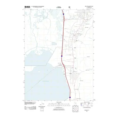
2011 Map of Willard
USGS Topo · Published 2011About this map
Willard and Perry sit at the foot of the Wasatch Range, where the steep mountain canyons meet the edge of the Willard Bay Reservoir. This 2011 survey illustrates the complex relationship between the residential core and the engineered shoreline, featuring the North Recreation Area and Willard Bay North Marina Campground. The drainage from the highlands is managed through features like the Perry Canal and Black Slough, which navigate the transitional zone between the townships and the water.
Find a feature on this map
40 named features on this map. Tap any name to fly to it.
Don’t see what you’re looking for? This feature index may not catch every label — zoom into the map to look around manually.
Map Details
Editions of this 2011 Willard Map
This is the sole edition of this map. No revisions or reprints were ever made.
Other maps of this area

1914 · Logan
USGS Topo · 1:125,000

1916 · Logan
USGS Topo · 1:125,000

1954 · Whistler Canal
USGS Topo · 1:24,000

1954 · Ogden
USGS Topo · 1:250,000

1954 · Brigham City
USGS Topo · 1:250,000

1955 · Plain City
USGS Topo · 1:24,000

1955 · Mantua
USGS Topo · 1:24,000

1955 · Plain City SW
USGS Topo · 1:24,000

1955 · Bear River City
USGS Topo · 1:24,000

1955 · Willard
USGS Topo · 1:24,000